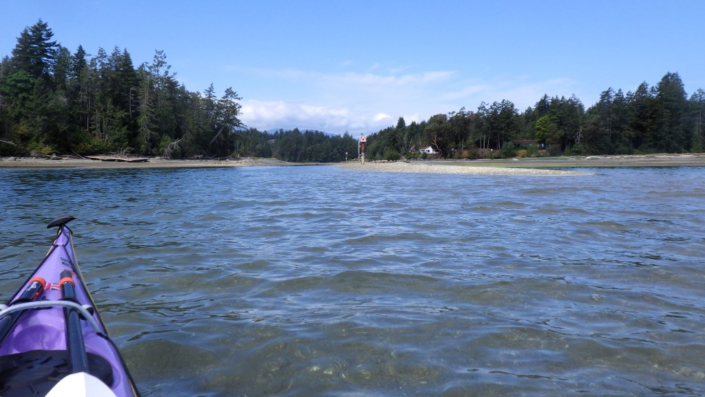
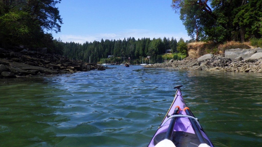
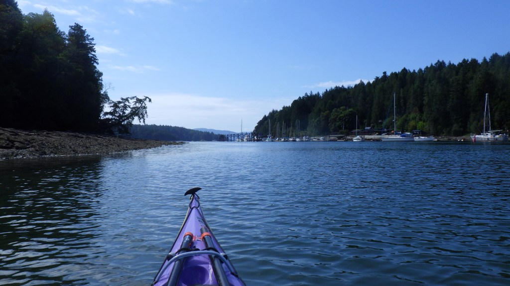
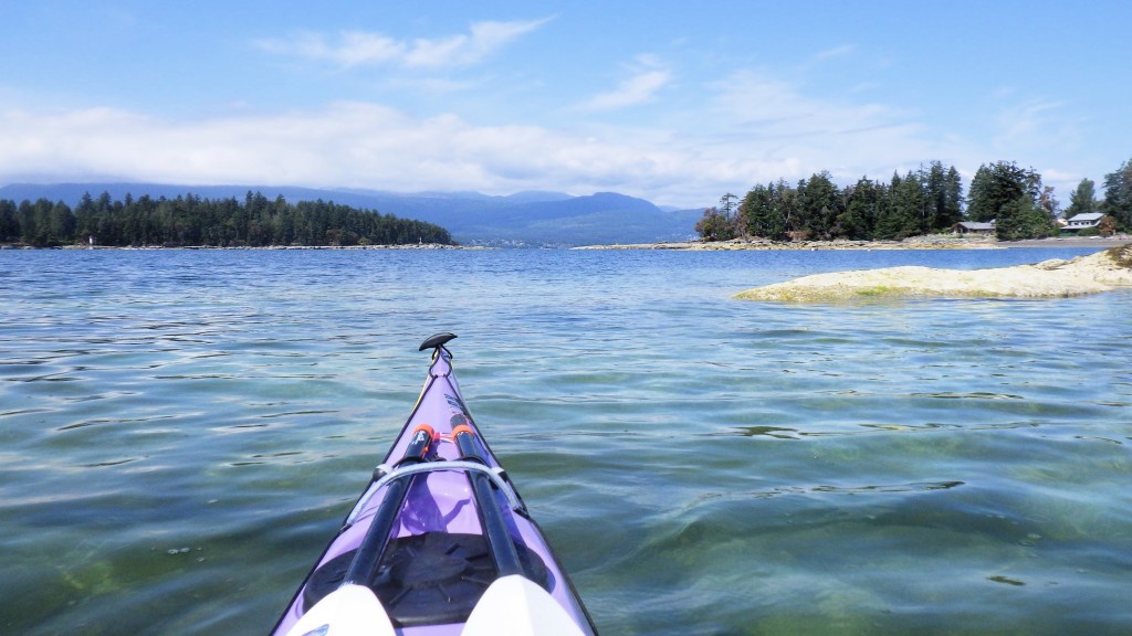
I completed this circumnavigation by sea kayak on July 20, 2025, as part of my larger Islands Circumnavigation Project.
Thetis Island is the third island of 40 I completed for the project.
I wrote a blog post about this trip, with more details about the area and history.

Island Circumnavigated: Thetis Island, Southern Gulf Islands
Date Circumnavigated: July 20, 2025
Direction of Circumnavigation: Clockwise
Island Size: 10.36 square kilometres
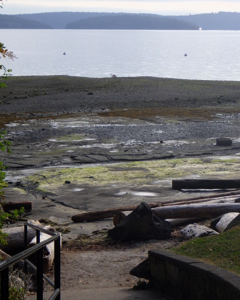
Route Summary: Launched at Blue Heron Community Park just north of Yellow Point. Crossed to Pilkey Point on the northeast tip of Thetis Island via Miami Islet and the Ragged Islets. Completed a clockwise circumnavigation of Thetis starting and ending at Pilkey Point. Returned to Blue Heron Park via the same route (Ragged Islets and Miami Islet).
Total Paddling Distance:
Full trip: 15.87 nm (29.4 kilometres)
Circumnavigation only: 9.37 nautical miles (17.4 kilometres)
Total Paddling (Moving) Time:
Full trip: 4 hours 29 minutes
Circumnavigation only: 2 hours 42 minutes
Total Trip Time (Including Breaks):
Full trip: 4 hours 54 minutes
Circumnavigation only: 2 hours 57 minutes
Moving Average Speed:
Full trip: 3.5 knots
Circumnavigation only: 3.5 knots
Overall Average Speed:
Full trip: 3.2 knots
Circumnavigation only: 3.2 knots
Maximum Speed:
Full trip: 5.4 knots
Circumnavigation only: 4.9 knots
Boat: P&H Aries 150
Highlights:
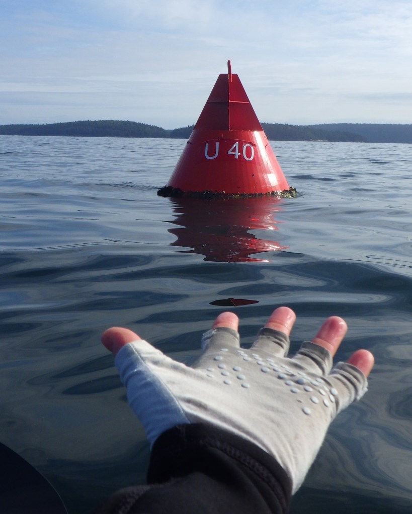
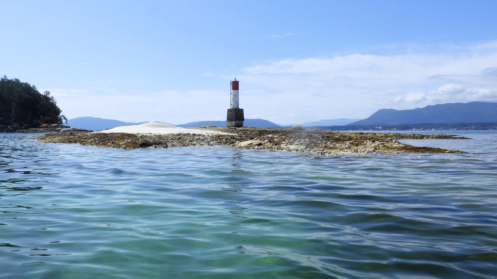
- Checking out the buoy marking the shipwreck at Miami Islet (the last time I was here thick fog rolled in and I was focussed on transitioning to navigating by compass).
- Seeing a seal mother nursing her pup on the rocks (they were not spooked by me).
- Cruising through The Cut between Thetis and Penelakut Islands with just enough tide height and the flood current pushing me along
- Navigating pleasure craft traffic on the crossing back to Blue Heron (not my favourite activity, to be sure)!
Photo Gallery:
Click on any image for a larger view!