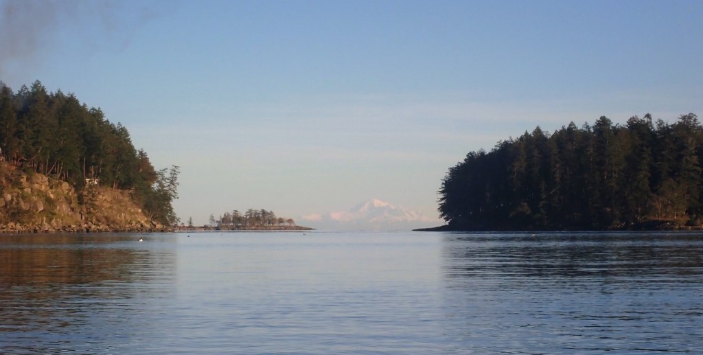
I completed this circumnavigation by sea kayak on January 27, 2025, as part of my larger Islands Circumnavigation Project.
Gabriola Island was the first island (of 40) I completed for the project.
Island Circumnavigated: Gabriola Island, Southern Gulf Islands
Date Circumnavigated: January 27, 2025
Direction of Circumnavigation: Counterclockwise
Island Size: 57.6 square kilometres
Route Summary: Counterclockwise circumnavigation launching and landing at the public boat launch at the end of Gray Road in Degnen Bay on Gabriola Island. Passed east through Gabriola Passage with a flood current of about +1.5 knots. Passed south through False Narrows with an ebb current of about -3 knots.
Total Paddling Distance: 20.82 nautical miles (38.5 kilometres)
Total Paddling (Moving) Time: 5 hours, 42 minutes
Total Trip Time (Including Breaks): 6 hours, 30 minutes
Moving Average Speed: 3.6 knots
Overall Average Speed: 3.2 knots
Maximum Speed: 6.7 knots
Boat: Northshore Atlantic LV Rotomold
Highlights:
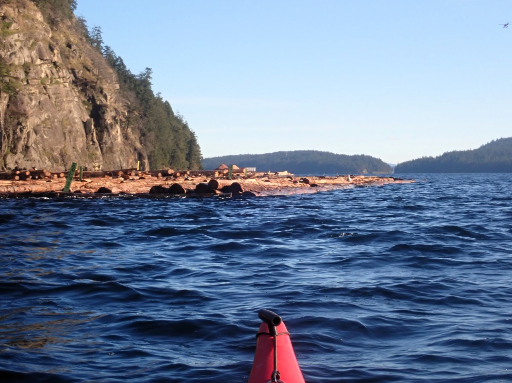
- Timing and navigating two current stations (Gabriola Passage and False Narrows).
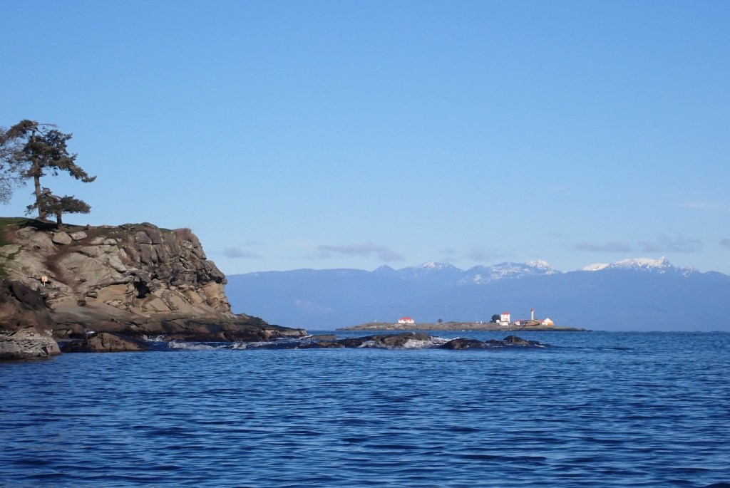
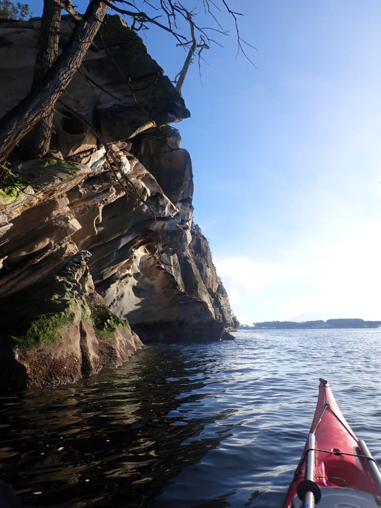
- Seeing the outside shore of Gabriola for the first time.
- Watching Steller sea lions circle below my boat near near Orlebar Point.
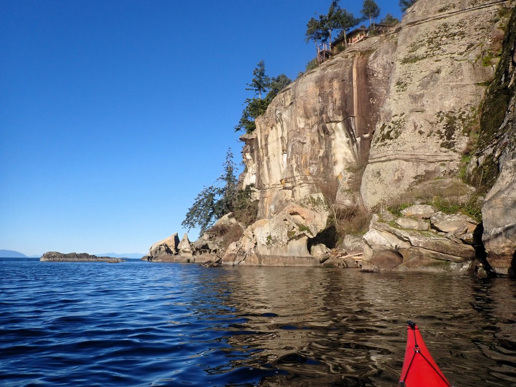
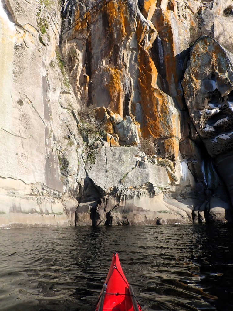
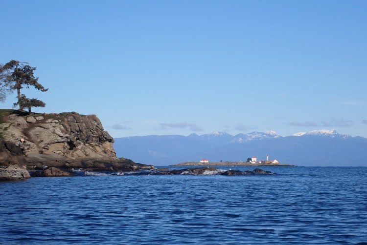
- The sandstone cliffs on Gabriola’s southwestern shore shining golden in the afternoon light.
- Cruising down False Narrows with an ebb current of almost 3 knots at my back near the end of the day.
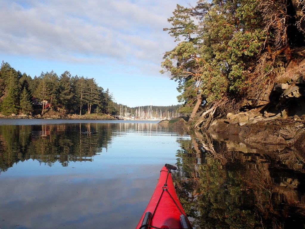
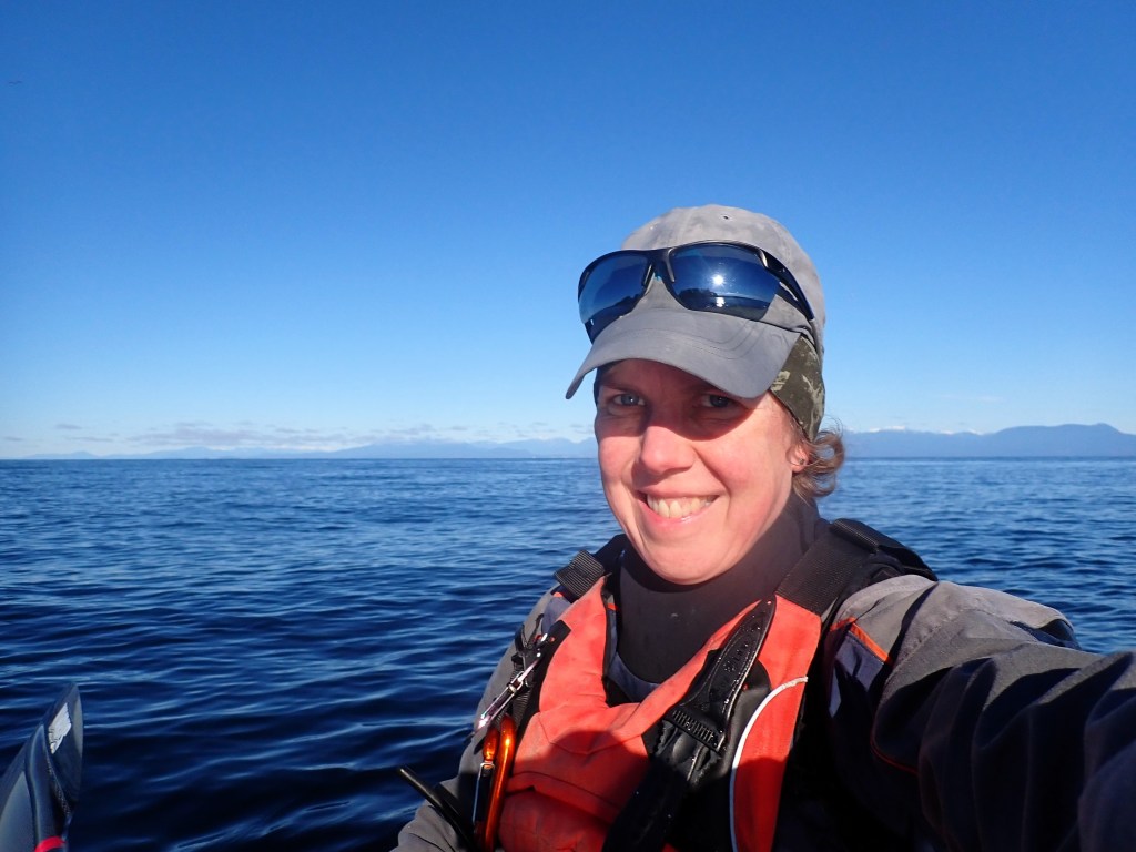
- Calm waters and sunny skies — a perfect day to tick this one off my bucket list!
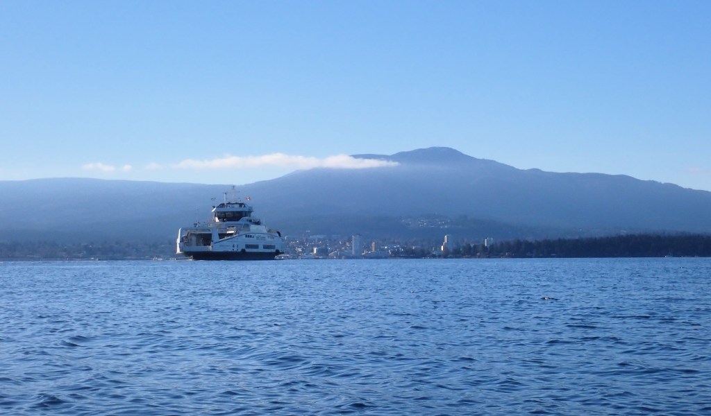
Photo Gallery:
Click on any image for a larger view!